First this uses the Inkscape vector drawing program and the Shadowed Island svg file from the More Mapping Secrets Post.
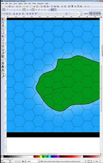
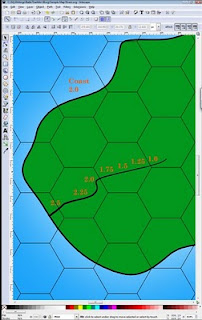
I first unlock the River Layer and then I use the Bezier tool to draw a wizard on the River layer.
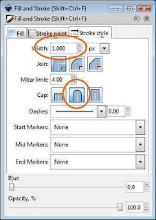
 I open up the Stroke property dialog and make the ends of the river rounded and the size 1.
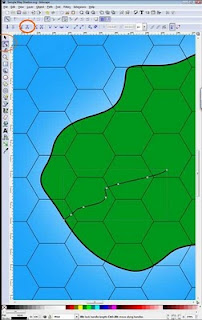
 I switch to the node tools and make sure there at least seven nodes. I add more if needed by double clicking on the line. Then I use the node break tool break apart the line into seven segments.
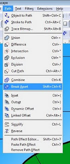
 The line is still bound together so to break apart into separate entities click on the menu Path and then Break Apart. Now you have seven separate lines touch each other. Because you made the lines with rounded end the ends overlap each other slightly.
 Make sure you coast is 2.0 pixels, then from the source of the river make each of the segments increase in size by .25 increments. I.E. 1.0, 1.25, 1.5, 1.75, 2.0, 2.25, and 2.5. Note that 2.25, and the 2.5 segments are going to have some additional work done to make them look like the ocean is intruding on them. This maintains the illusion of a 2.0 pixel coastline extending up into your river. I don't this for the remaining segments as they are 2.0 pixels or lower.
 But because of the rounded end I need to get the last segment end point on the coastline. Select the zoom tool and zoom in.
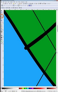 Then select the node tool and drag that end point so it looks like it is touching the coast line.
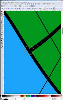 Now select the 2.5 wide segment and 2.25 wide segment.
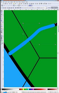 Using the Stroke properties dialog make their color as follows.
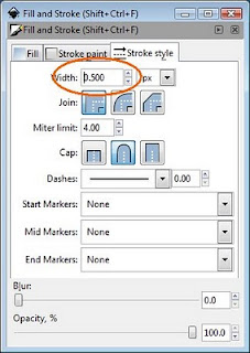
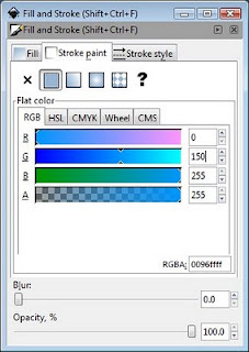 Then select the 2.25 segment and use the Stoke Style Tab to make the with .25 (2.25 - 2.0 = .25)
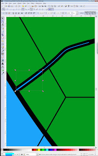 Do the same for the 2.5 segment only make the width .5
 Then drag the endpoint of the last segment so that it completely in the ocean. The result looks something like this.
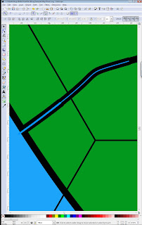 Zoomed out.
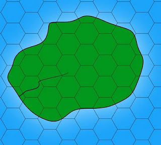 You can go as far as you want with this. My rule of thumb is that if it is 1.0 bigger than the coast draw the feature as part of the coastline. From 3.0 to 2.25 in width I use this technique.
You can download the final file from here.
1 comment:
Great to see a Inkscape tutorial in map making, thanks :D
Post a Comment