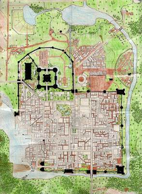
Tavis in the comments about my handdrawn map of
Greyhawk asks an interesting question.
Hand-drawn beauty notwithstanding, the thing I find most interesting is the density of settlements; almost one every other hex at this scale. Some I think I recognize, like Elredd and Fax on the Wild Coast. Were you mostly mapping things that'd already been established in the Flanaess, or were you deducing settlements based on population density?
When I drew the Greyhawk map it was before the internet. My college library was pretty good but nothing like we have now. My main source for medieval demographics was Harn by N. Robin Crossby and Columbia Games. From what I could find it look like Harn was in the ballpark so it was the foundation of how placed settlements in the later maps.
Harn didn't really determine the density I used for Greyhawk. I had a local area map of the Selintan (sp?) River area around the City of Greyhawk that showed the different settlements. This showed that Greyhawk settlements were somewhat more spread out than Harn is.
However the map you see doesn't show everything. In actuality the yellow areas are densely settled areas of culivated land. All that is shown is the main castle/keep/settlement. So what does it really looks like when you zoom in?
Note the only worked examples I have are from my Majestic Wilderlands and I use a 12.5 mile hex for that.

The inset to the right is 12.5 miles (5 leagues) The yellow area are larger because of the smaller hex size. Note a league is an hour's walk.
The bigger hex map show how the culivated land is divided into manor villages and hamlets. Basically the manors are within a 1/2 days walk of the main settlements (Caer Anselford, Caer Dunslad). There are a few mines in the wilderness. Also this map was drawn for a region that was heavily druidic in faith so all the "Circles" in the middle of nowhere.
The main settlements of a country typically are spread from a 1/2 day (densely settled area) to a hard days walk (10 hours) apart.
This map show the larger region the above is taken from.

The rule of thumb I use is that every major settlement town/keep/castle. Has 10 to 15 manor villages in the surrounding region.
Between Kestizag and Antil is densely settled. Daltia in the south is also intensely cultivated along the coast and river valley.
The rest of the major settlements are spread out in then again placed a day or so walk apart.
This results from the King or Central Authority trying to defend his land and vassals.
In my Majestic Wilderlands this region was the focus of an active colonization effort several hundred years ago. So I drew the pattern of settlement slightly different than normal. The original frontier ended at Tenoch. To the east and south were the domain of various Orc Tribes.
The initial focus of colonization was Antil followed by Daltia. This is the reason why the population is so dense in those two areas. The remaining areas were the result of the kings trying to link Antil back to the old frontier and Daltia linking to Antil. Anselford and Dunslad are examples of settlements founded to connect other settlements.
So what is a normal pattern? I will get to that in a later post.
An accurate and easy source for gaming Medieval Demographics is by S. John Ross. You can find it
here. I also recommend the
Magical Society line by Expeditous Retreat Press.
Fief by Cumberland Games. And
Harn Manor by Columbia Games as well as Harn itself.


